
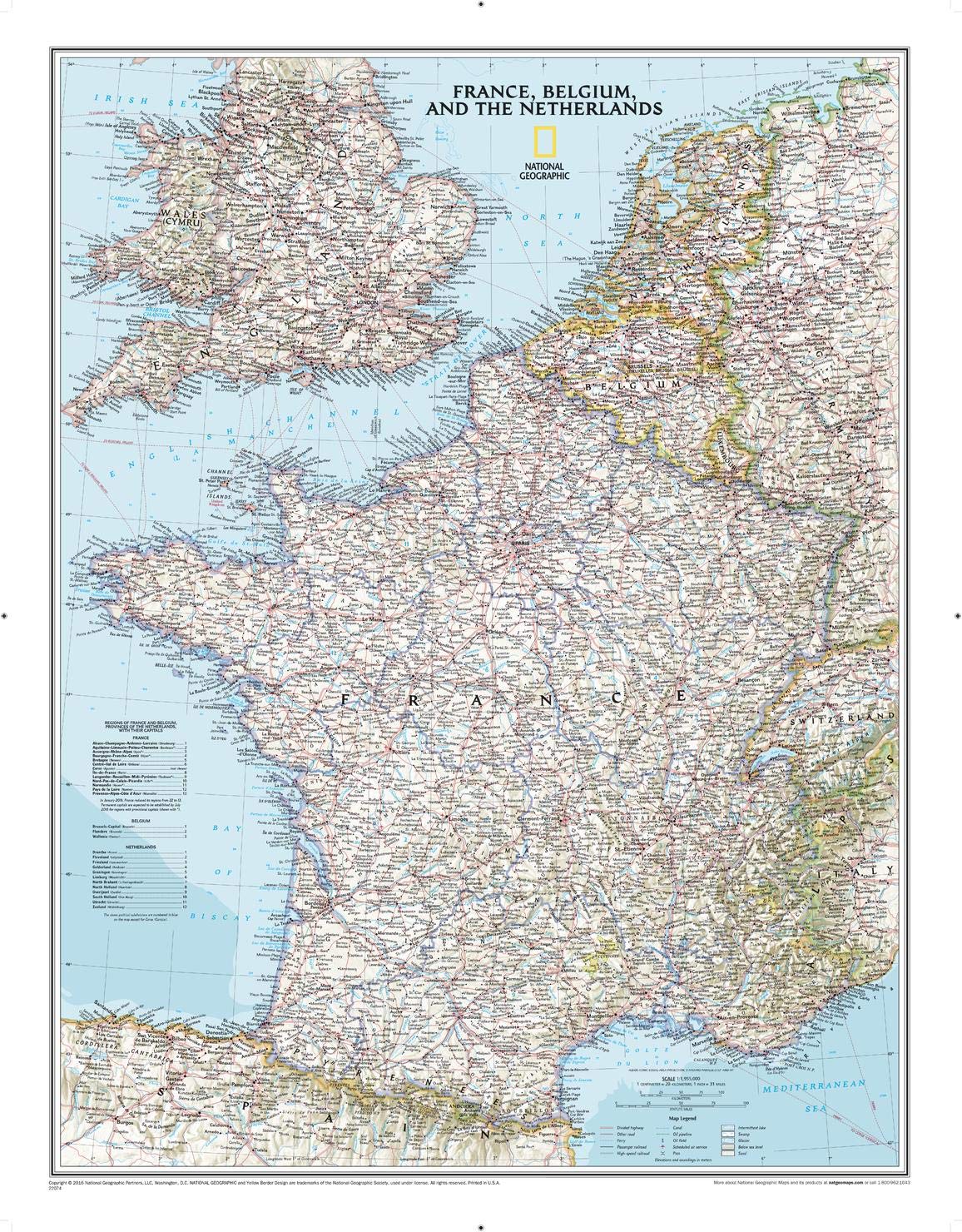
National Geographic France, Belgium, and The Netherlands Wall Map - Classic - Laminated (23.5 x 30.25 in) (National Geographic Reference Map)
Product details
| Management number | 231277485 | Release Date | 2026/06/18 | List Price | $10.27 | Model Number | 231277485 | ||
|---|---|---|---|---|---|---|---|---|---|
| Category | |||||||||
Expertly researched and designed, National Geographic's Classic style political map of France, Belgium, and The Netherlands features clearly defined international boundaries, thousands of place names, waterbodies, airports, major highways and roads, national parks, and much more. Also shown are the region's updated infrastructures, including major oil fields and pipelines; high-speed passenger railway lines; canals; and ferry routes. The tasteful color palette, shaded relief, and bathymetric data make this map as attractive as it is functional. Luxembourg and portions of the United Kingdom, Germany, Switzerland, Spain, and Italy are shown as well.The map is encapsulated in heavy-duty 1.6 mil laminate which makes the paper much more durable and resistant to the swelling and shrinking caused by changes in humidity. Laminated maps can be framed without the need for glass, so the frames can be much lighter and less expensive. Map Scale = 1:1,955,000Sheet Size = 23.5" x 30.25" Read more
| ISBN10 | 0792292618 |
|---|---|
| ISBN13 | 978-0792292616 |
| Edition | 2016th |
| Language | English |
| Publisher | Natl Geographic Society Maps |
| Dimensions | 3 x 3 x 43.5 inches |
| Item Weight | 6 ounces |
| Print length | 1 pages |
| Publication date | November 12, 2014 |
Bestseller ranking
Electric Motors






Customers who viewed this product also viewed
Maps


Correction of product information
If you notice any omissions or errors in the product information on this page, please use the correction request form below.
Correction Request Form